GMxgrid
G Mxgrid: a program for preparing scanned images of topographic maps for correction of distortions in the GIS Global Mapper©
GMxgrid is a ©MS Windows freeware program for working with scanned raster images of topographic maps that performs one important operation: automatic detection of intersections of lines in a strictly rectangular grid. These crosshairs are used as calibration points in correction of distorsions for precise geo-referencing in the GIS software Global Mapper by Blue Marble Geographics. GMxgrid significantly speeds up this routine and time consuming work, during which users usually have to set calibration points manually. In addition, it provides a more convenient interface if compared to Global Mapper.
In general, workflow is divided into the following steps:
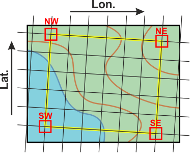
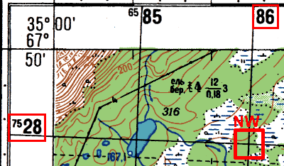
- Load map image and specify a rectangle delimited by extreme grid lines (i.e., this rectangle should completely fall within the map frame), then specify its north, south, west and east sides (in world coordinates):
- Set the grid step. The program will automatically suggest search areas at each of the crosshairs:
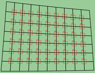
Missing search areas located along the map frame can be easily added manually (if necessary).
- Configure several search options and start the detection process. The program creates a pattern (mask) of the crosshairs and searches for the most matching position in each of the given areas:
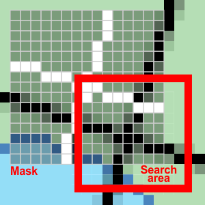
- After checking the results, the program writes a CSV-file with calibration points, which is directly used in Global Mapper (operation "Rectify (Georeference) Imagery...").
GMxgrid is a pure graphical program: it doesn't has any database and can not convert geographic coordinates, the only coordinates it "understand" are positions of pixels on bitmaps and some corresponding rectangular (world) coordinates. The program works with JPEG, PNG, TIFF, GIF and BMP file formats. Actually, it deals with grayscale negatives (usually invisible).
